File:Aquilian Kingdom.png
Jump to navigation
Jump to search


Size of this preview: 674 × 600 pixels. Other resolutions: 270 × 240 pixels | 1,830 × 1,628 pixels.
Original file (1,830 × 1,628 pixels, file size: 49 KB, MIME type: image/png)
Summary
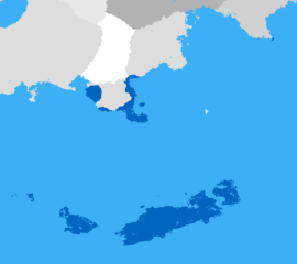
Map of Aquilian Kingdom during its maximal extent.
File history
Click on a date/time to view the file as it appeared at that time.
| Date/Time | Thumbnail | Dimensions | User | Comment | |
|---|---|---|---|---|---|
| current | 20:51, 24 March 2021 | | 1,830 × 1,628 (49 KB) | Toonu (talk | contribs) | Map of Aquilian Kingdom during its maximal extent. |
You cannot overwrite this file.
File usage
The following 3 pages use this file: