File:Territorymap.png
Jump to navigation
Jump to search

Size of this preview: 800 × 400 pixels. Other resolutions: 320 × 160 pixels | 4,096 × 2,048 pixels.
Original file (4,096 × 2,048 pixels, file size: 673 KB, MIME type: image/png)
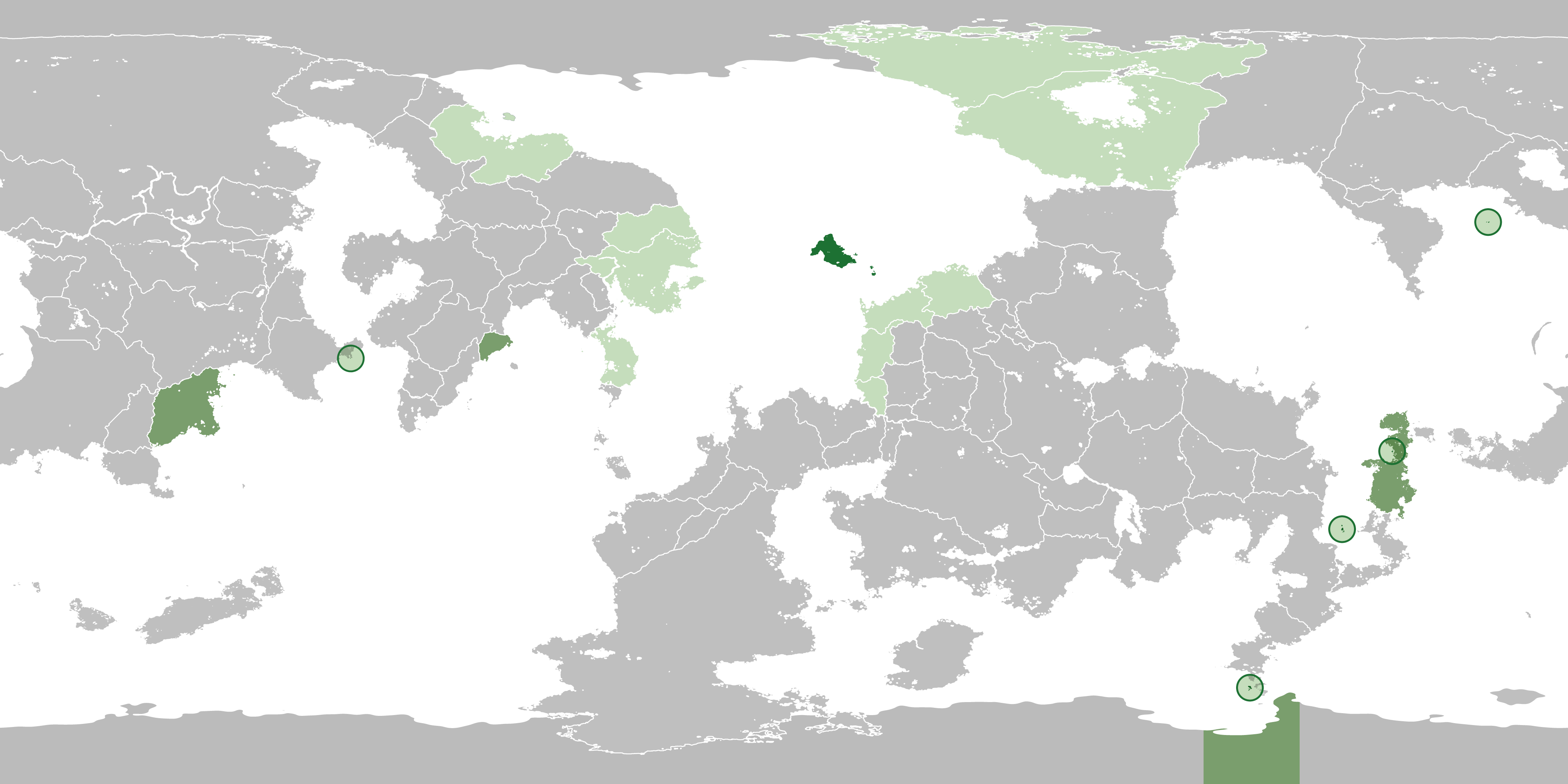
Serrian territory map
File history
Click on a date/time to view the file as it appeared at that time.
| Date/Time | Thumbnail | Dimensions | User | Comment | |
|---|---|---|---|---|---|
| current | 04:44, 17 June 2022 | | 4,096 × 2,048 (673 KB) | Serria (talk | contribs) | |
| 19:55, 8 June 2022 | 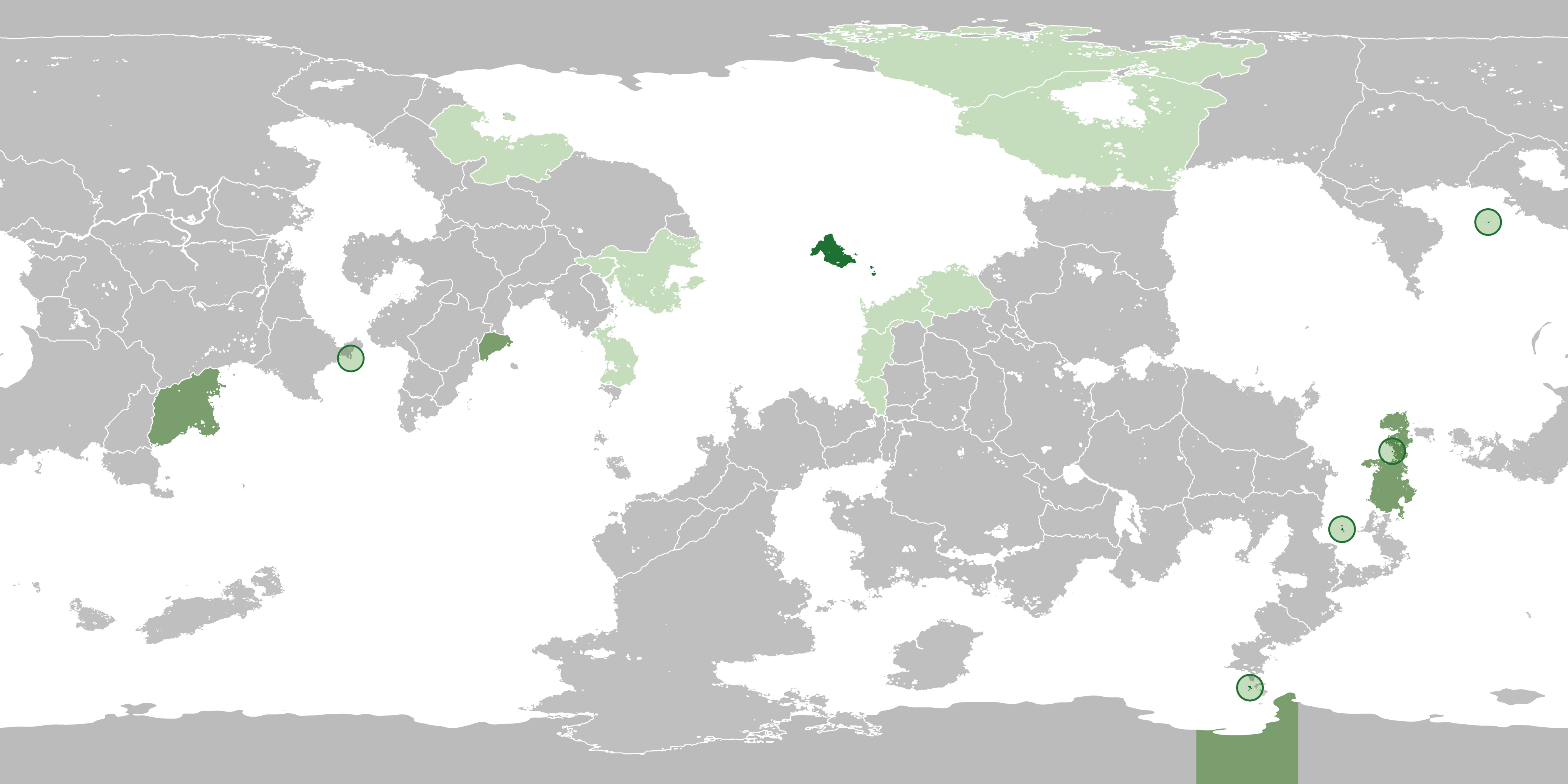 | 4,096 × 2,048 (667 KB) | Serria (talk | contribs) | ||
| 03:39, 31 May 2022 | 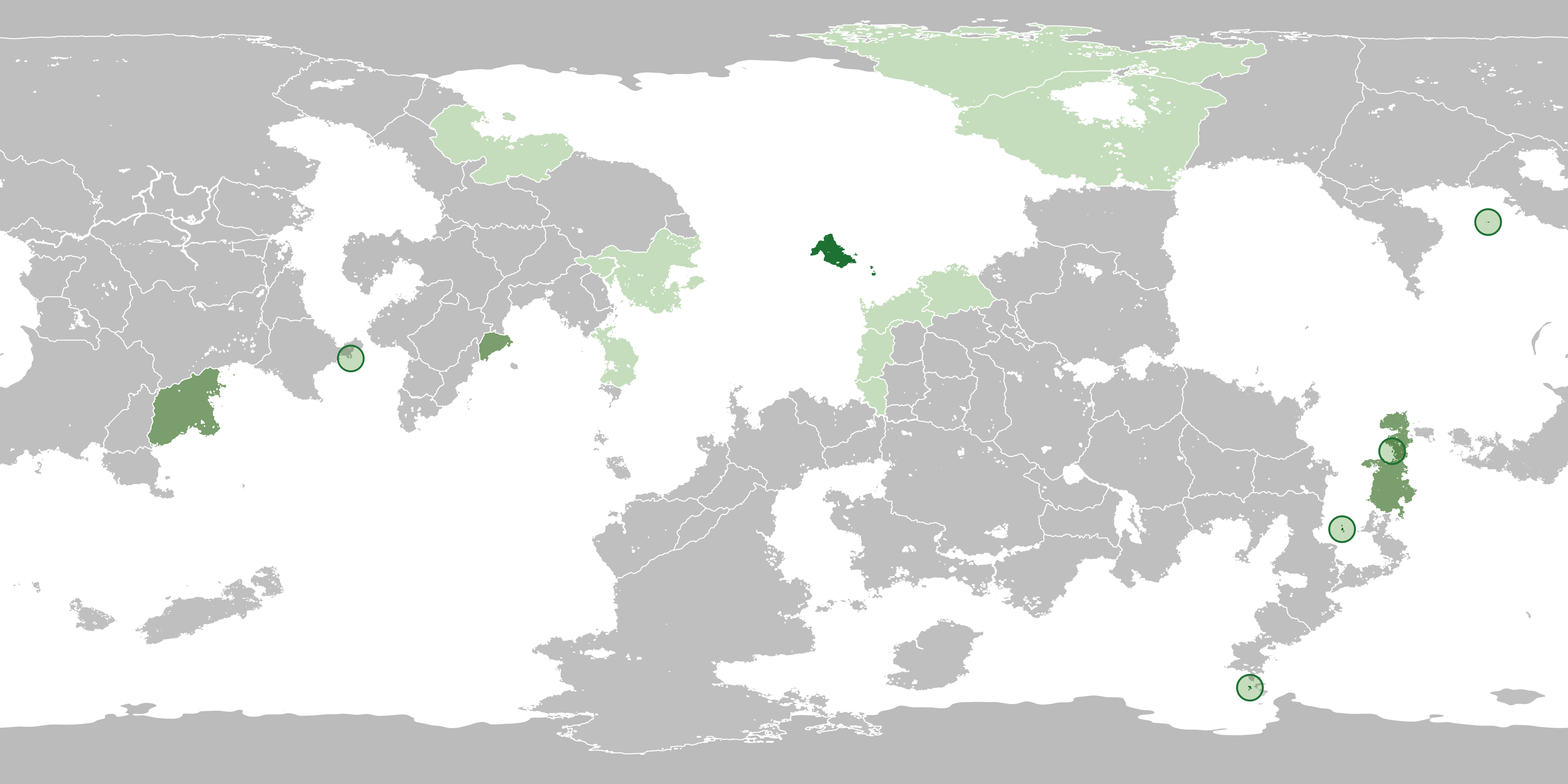 | 4,096 × 2,048 (665 KB) | Serria (talk | contribs) | ||
| 08:10, 17 November 2021 | 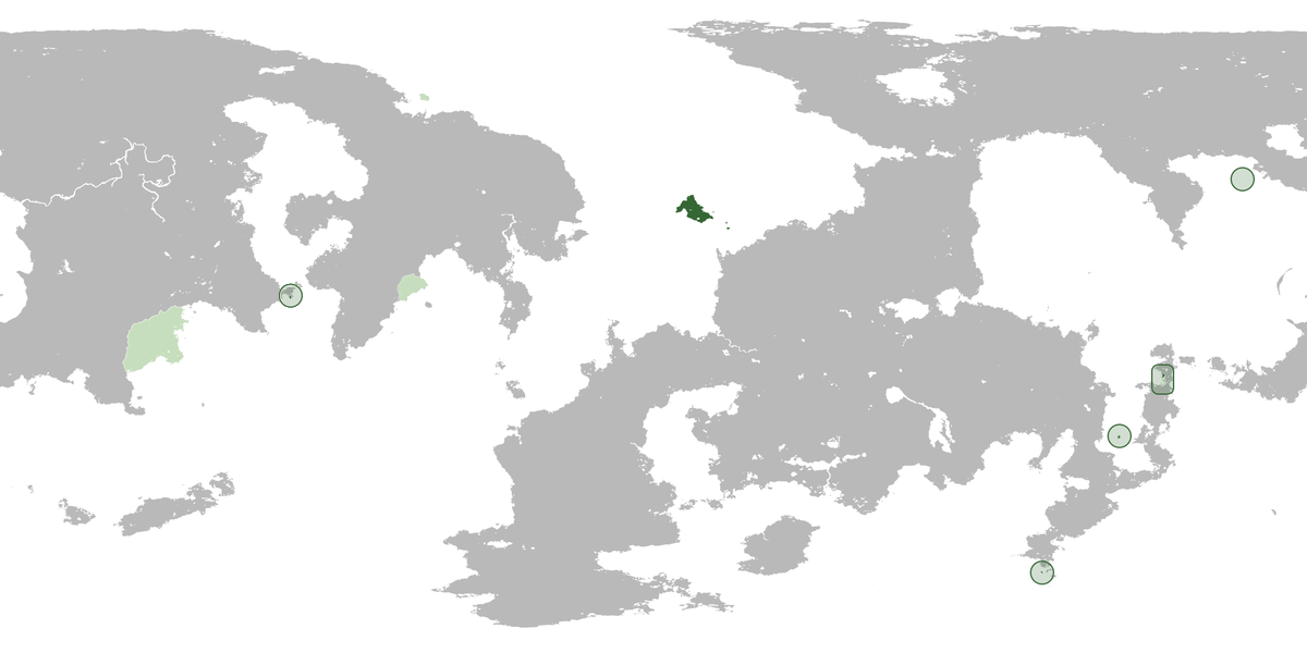 | 1,200 × 600 (142 KB) | Serria (talk | contribs) | Sanpoli, Nor, Paradis, Paros added. | |
| 23:45, 18 March 2021 | 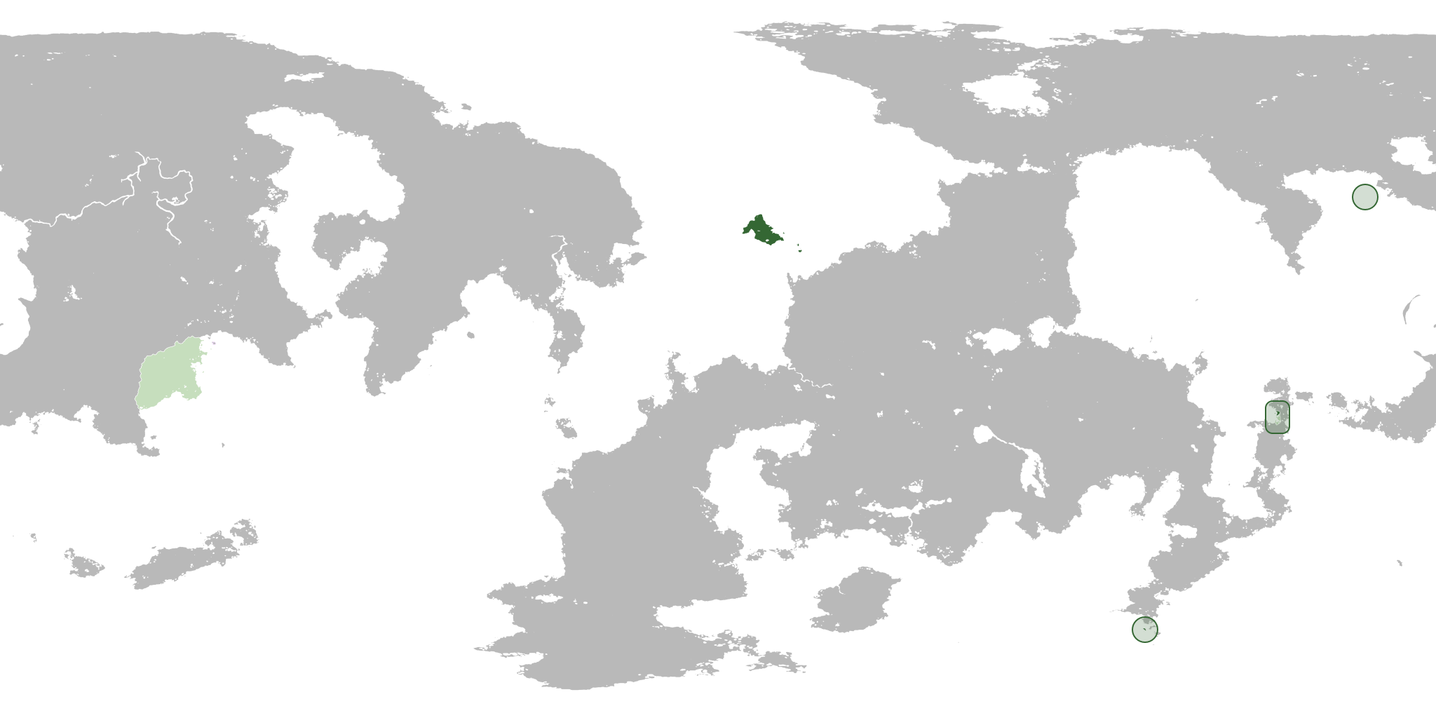 | 2,048 × 1,024 (161 KB) | Serria (talk | contribs) |
You cannot overwrite this file.
File usage
The following page uses this file: