Difference between revisions of "The Armed State Of Verkimlund"
Verkimlund (talk | contribs) |
Verkimlund (talk | contribs) |
||
| Line 21: | Line 21: | ||
|symbol_type = <!--emblem, seal, etc (if not a coat of arms)--> | |symbol_type = <!--emblem, seal, etc (if not a coat of arms)--> | ||
<!-- Insert your flat and globe projection maps to the switcher into File:XX---> | <!-- Insert your flat and globe projection maps to the switcher into File:XX---> | ||
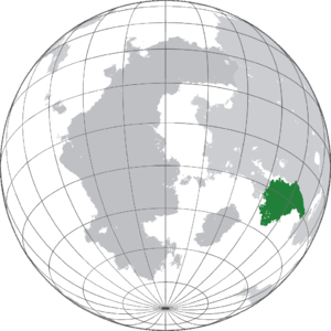
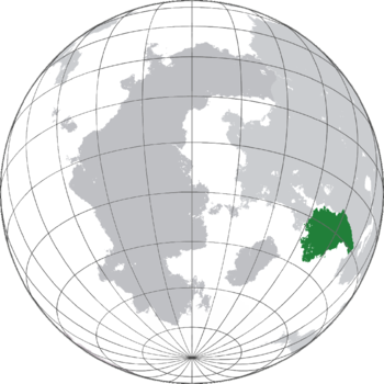
| − | |image_map = {{switcher|[[File: | + | |image_map = {{switcher|[[File:Verkimlund Globe.png|frameless]]|Show globe|[[File:Verkimlund Globe.png|upright=1.15|frameless]]|Show map of Serthenia|default=1}} |
|alt_map = Location of INSERT_YOUR_NATION on the globe. | |alt_map = Location of INSERT_YOUR_NATION on the globe. | ||
|loctext = Verkimlund makes up much of the south western coast of [[Cancodia]]. | |loctext = Verkimlund makes up much of the south western coast of [[Cancodia]]. | ||
Revision as of 14:59, 31 March 2021
The Armed State Of Verkimlund Die Gewapende Staat Verkimlund | |
|---|---|
|
Flag | |
Motto: "Vir die goeie van al" "For the good of all" | |
Anthem: Verkimlund Stands March: March of the Verkimlund Regiment | |
| Location | Verkimlund makes up much of the south western coast of Cancodia. |
| Capital and largest city | Salisbury |
| Official languages |
|
| Recognised regional languages |
|
| Ethnic groups | |
| Religion |
|
| Demonym(s) | Verkimlunder |
| Government | Parliamentary Democracy |
| Peiter Koch | |
| Ian Holder | |
| Legislature | Housevaaler |
| Kings Court | |
| Tribal Council | |
| What is your status | |
• Dolphik Colonisation | 1792 |
• Signing of the Charter Of Self Rule | 1893 |
• End of the Confederacy | 1920 |
| Area | |
• Total | 100,000 km2 (39,000 sq mi) (N/A) |
• Water (%) | 5.7 |
| Population | |
• April 2021 estimate | |
• 2011 census | 4,545,425 |
• Density | 45.45/km2 (117.7/sq mi) (3rd) |
| GDP (PPP) | 2021 estimate |
• Total | |
• Per capita | |
| GDP (nominal) | 2021 estimate |
• Total | |
• Per capita | |
| Gini (2021) | low · N/A |
| HDI (2020) | very high · N/A |
| Currency | Rand (VRD) |
| Date format | dd/mm/yyyy |
| Driving side | left |
| Calling code | +800 |
The Armed State Of Verkimlund, formerly The Confederated Dominion Of Verkimlund And Teleland, commonly known as Verkimlund, is a sovereign nation in south west Cancodia. The nation includes the States of Kettalli, Transvaal, Nurt Cape, Tetlebele, and The Cape. The nation shares a land border with Traestan on its north western face and a land border with Nostrapais on its eastern side, to its south is the Vozun Ocean. The union of Verkimlund and Teleland (The greater collection of Kettali and Telebele) was signed into law in 1893 with the Colonial Communion Act of the same year. The small nation boosts a reasonable military for its size and wealth due to a long running tradition of National Service particularly among minority groups. Verkimlund is a signed Member of the International Trade Sphere aswell as International Space Cooperation Program. Exports from the nation are largely Raw Minerals and Small arms sold to private individuals.


